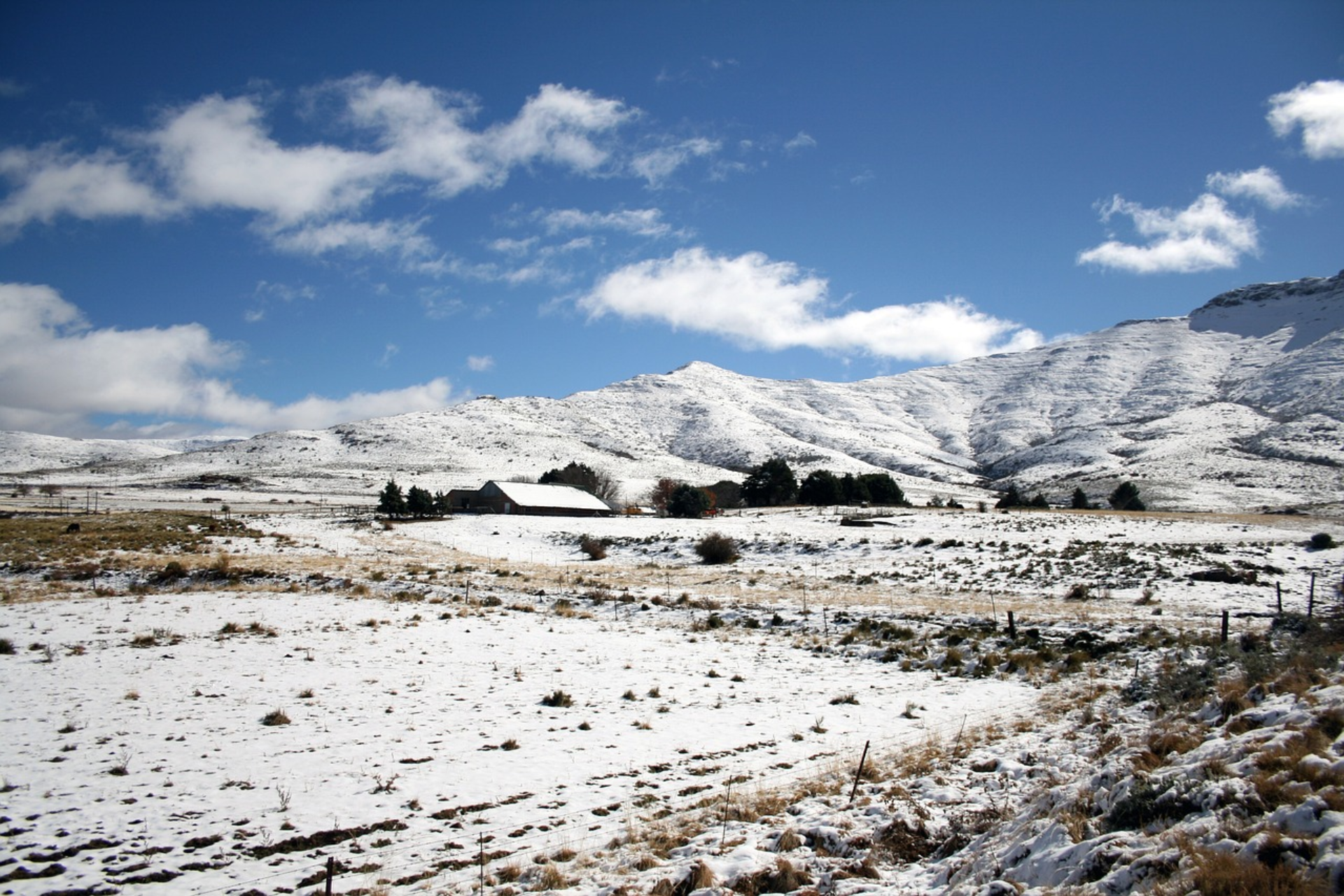
Light snow expected in these parts of SA today
The weather services warned that more light snow is expected in several parts of South Africa today. MORE LIGHT SNOW IS EXPECTED TO MAKE LANDFALL TODAY According to VoxWeather forecaster Annette Botha, the light snow is likely late evening on Thursday into Friday (25-26 May). ALSO READ: Cold front: Wet and windy conditions to bring […]

The weather services warned that more light snow is expected in several parts of South Africa today.
MORE LIGHT SNOW IS EXPECTED TO MAKE LANDFALL TODAY
According to VoxWeather forecaster Annette Botha, the light snow is likely late evening on Thursday into Friday (25-26 May).
ALSO READ: Cold front: Wet and windy conditions to bring significant temperature drop
“Light snow is likely late evening on Thursday into Friday (25-26 May) in Sutherland and spreading to the north-eastern mountains of the Eastern Cape and southern Drakensberg into Friday.” – Annette Botha
❄️ SA SNOW FORECAST | 25-26 May 2023 ❄️
Light snow likely late evening on Thursday into Friday (25-26 May) in Sutherland and spreading to the north-eastern mountains of the Eastern Cape and southern Drakensberg into Friday#VoxWeather #Snow #coldfront #SNOWINSA pic.twitter.com/mxE7rS02HH
— Vox Weather (@VoxWeatherZa) May 24, 2023
Meanwhile, the SA Weather Service (SAWS) issued several weather warnings for Thursday.
SEVERAL WARNINGS HAVE BEEN ISSUED FOR THURSDAY
A level 3 yellow warning for disruptive rain is issued over the southwestern parts of the Western Cape.
ALSO READ: LOOK: Snow, icy weather turn parts of SA into winter wonderland
And a yellow level 2 warning for damaging waves between Alexander Bay and Plettenberg Bay was issued for Thursday.
Three FRONTS will bring FREEZING TEMPS, RAIN, STRONG WINDS & SNOW
Date: 24 – 26 May 2023#weatherforecast #cold #snowinSA #snowtok #coldfront #SAweather #greenscreenvideo pic.twitter.com/5xutDeEwuo
— Vox Weather (@VoxWeatherZa) May 24, 2023
TEMPERATURES ARE EXPECTED TO DROP SIGNIFICANTLY
“A well-defined cold front with upper air support is expected to make landfall on Thursday (25/05/2023), dropping the daytime temperatures significantly.
“Maximum temperatures may be 10oC and below in places over the southern high-lying areas of the Namakwa region in the Northern Cape and over the interior of the Western Cape, reaching the Eastern Cape Thursday into Friday morning. General cold, wet, and windy conditions will accompany the cold front.” – SAWS
ALSO READ: Cholera found in Vaal River as water samples test positive
According to the Severe Weather and Information Centre SA, the latest satellite and synoptic images as of today, 23 May, reveal a massive mid-latitude cyclone positioned southwest of South Africa; the tail end of the cold front associated with the system is expected to bring adverse weather conditions.
COLD FRONTS TO MAKE LANDFALL THIS WEEK
On Thursday, an intense cold front is expected to bring the following adverse weather conditions:
- Cold temperatures
- Moderate to heavy rain
- Potential thunderstorms
- Strong winds
- Rough sea conditions
Anticipated for Thursday, an intense cold front could reach the west coast, affecting the southern high-lying areas of the Namakwa region in the Northern Cape and extending over the interior of the Western Cape.
PLEASE SEND US YOUR SNOW PHOTOS AND VIDEOS:
Please WhatsApp your photos and videos to 060 011 0211. Please remember to include your name, surname, and as many details and information as you have. You are, of course, welcome to send anonymous tips and information.
ALSO READ: Meet the new Aston Martin DB12
