This Photo of the Joburg Storm Cloud is NOT Real. But these Incredible Pictures are…
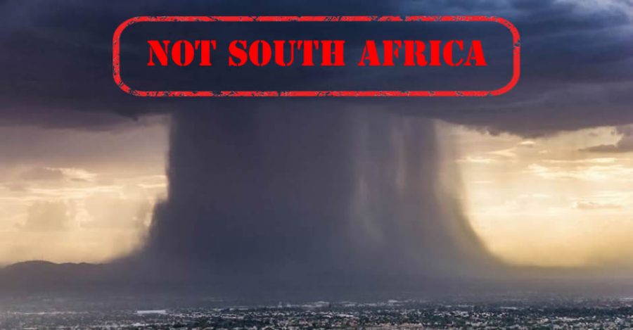
A photo uploaded to social media, a day after the devastating Joburg floods, has gone viral amongst South Africans as proof of the force behind the flash floods. In fact, the photo is four months old and wasn’t taken anywhere near Joburg. It was taken from a helicopter in Phoenix by weather photographer Jerry Ferguson. According […]
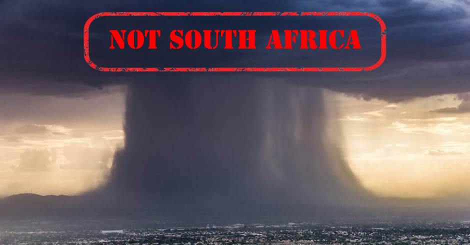
A photo uploaded to social media, a day after the devastating Joburg floods, has gone viral amongst South Africans as proof of the force behind the flash floods.
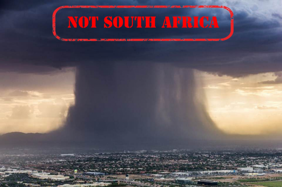
In fact, the photo is four months old and wasn’t taken anywhere near Joburg. It was taken from a helicopter in Phoenix by weather photographer Jerry Ferguson.
According to Mashable, which published the photo on 19 July, together with a timelapse video of the event, the weather phenomenon is known as a ‘microburst’ and occurs when rain cooled air “collapses toward the ground from a parent thunderstorm, crashing to the ground and spreading out at speeds above 100 miles per hour”. The cooled air is more dense apparently and speeds up the downfall. (Read more here.)
Microbursts are a “major hazard” for landing and departing airplanes but fortunately planes have warning systems in place, and as occurred this week with the Joburg storms, O.R. Tambo International Airport delayed all flights.
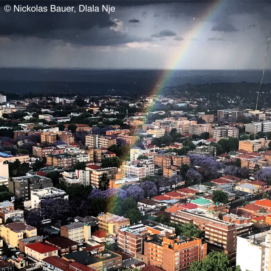
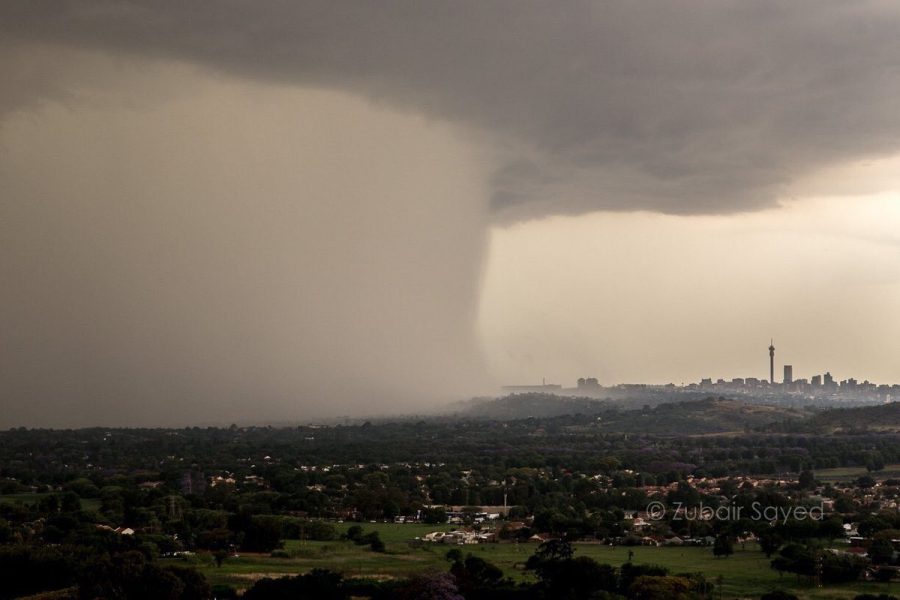
These 2 photos are real, depicting the storm clouds that swept in on Wednesday 09 November 2016 to cause the Joburg flash floods:
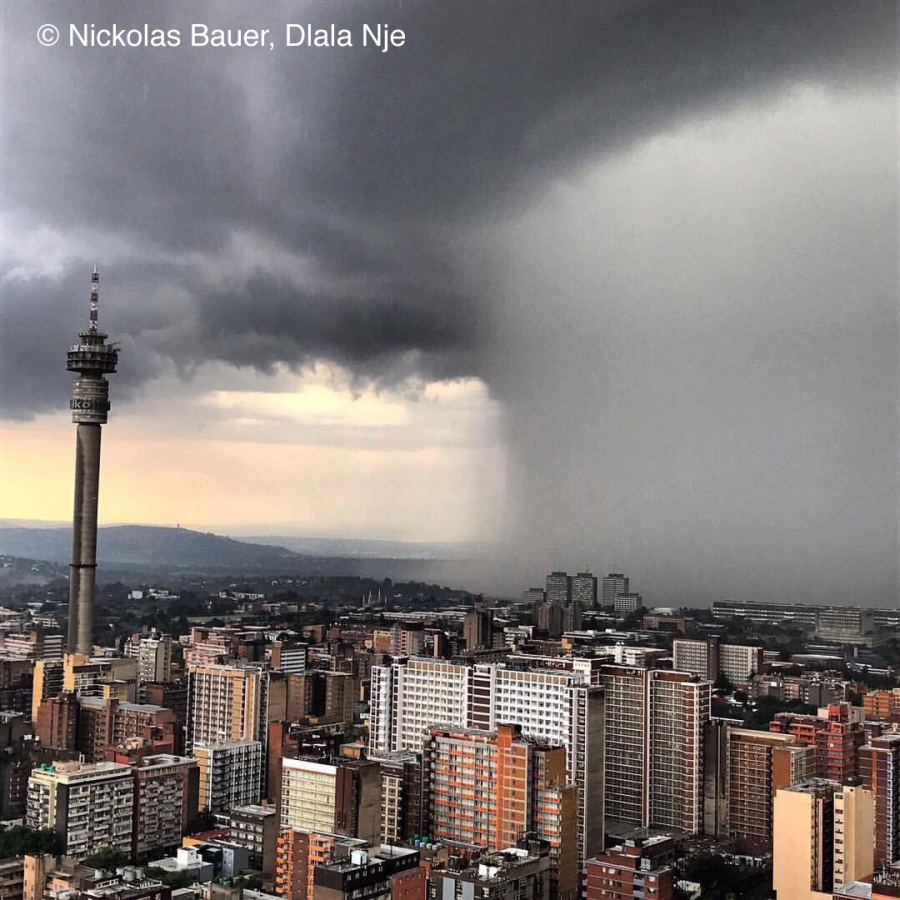
Nickolas Bauer of Dlala Nje who’s a South African reporter took the above iconic photo from the 51st floor of the Ponte building.
The mushroom-like picture below was uploaded to Twitter by Zubair Sayed.
Bauer also captured this photo of a rainbow after the storm.
