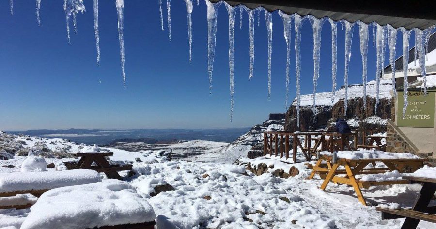
South Africa’s BIG Freeze On the Way and Table Mountain May Get 7CM of Snow!
The severe cold front heading for South Africa is still on course and due to begin impacting the Western Cape tomorrow morning! The first snow on mountain peaks is expected late Sunday afternoon, and the chances of waking up on Monday morning to a layer of snow on Table Mountain have increased! In an update […]

The severe cold front heading for South Africa is still on course and due to begin impacting the Western Cape tomorrow morning! The first snow on mountain peaks is expected late Sunday afternoon, and the chances of waking up on Monday morning to a layer of snow on Table Mountain have increased!

In an update at lunch-time Saturday, Snow Report SA said by the early hours of Monday, they expect widespread snow over all the Western Cape high peaks and some lower level snow in the Ceres area.
“Table Mountain currently has a forecast to receive around 7cm overnight on Sunday, so we may get to see some on Monday morning if we are lucky,” said Snow Report.
It won’t be the first time it’s snowed on Table Mountain. There was quite a snowfall in 2013, and even last year there was a light sprinkle… but one of the best photos is that below, taken during the First World War when the snow reached the lower slopes of Cape Town’s iconic mountain.
https://www.facebook.com/snowreportsa/photos/a.312313212229373.1073741828.312197008907660/1574652855995396/?type=3
For all those who still believe “it never snows in Africa”, Snow Report SA has compiled a detailed history of snow in Southern Africa between 1853 and 2014. (See link below.)
As far as this weekend’s snow – the latest report shows the following snow predictions for Sunday:
Matroosberg peak 40-45cm, with the reception area receiving 10cm.
Cederberg peaks 25cm, with the lower areas receiving 10-15cm.
Wellington’s Sneeukop peak 40cm, and 10 to 15cm lower down.
On Monday, there is snow predicted in the following areas:
Northern Cape – Sutherland and Calvinia expecting the heaviest falls, with widespread light snow over a large area.
Swartberg and Outeniquas (and all major ranges between Worcester and Uniondale) can expect ‘nice snowfalls’ during the early hours of Monday morning.
Eastern Cape – light falls, and with a change in the forecast only light dustings of less than 5cm seem possible now. Barkly East and Lady Grey areas are likely to see the heaviest falls on Monday afternoon.
KwaZulu-Natal and the Drakensberg are no longer expected to receive any snowfall… with perhaps just light flurries on Monday night in the KZN Midlands (between Impendle and Underberg).
Lesotho is also now only expected to received up to 5cm.
It’s going to be Frrrrrreezing!
Snow Report SA does warn: “It is going to be bitterly cold though, even in areas that are not going to get snow. Large parts of the country in the central interior will start Tuesday well below zero, and the South African Weather Service (SAWS) have issued warnings in this regard.
“Even coastal areas will experience temperatures well below what is considered normal. Livestock farmers should take extra precautions, and the public are urged to heed any warnings issued by the SAWS and their local authorities.”
SAWS has issued alerts about possible heavy rain and flooding, disruptive snowfalls and very cold conditions into Monday.
All snowfalls are predicted to end during the early hours of Tuesday morning.
Follow Snow Report SA for any updated reports.
See Snow Report’s History of snow in South Africa, from 1853 to 2014:
www.snowreport.co.za/history-of-snow-in-south-africa-1853-2014/
