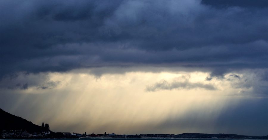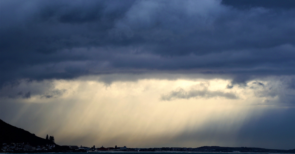
SA Weather Service: “Heads Up Western Cape!” Strong Winds & Rain On The Way
The South African Weather Service (SAWS) has warned the Western Cape that strong winds and thundershowers are expected from this afternoon; and locals should avoid any marine activities from tomorrow afternoon, Tuesday 8 May 2018. In a message on Facebook, the SAWS said: “Heads up Western Cape! Cut off low system headed your way. Showers […]

The South African Weather Service (SAWS) has warned the Western Cape that strong winds and thundershowers are expected from this afternoon; and locals should avoid any marine activities from tomorrow afternoon, Tuesday 8 May 2018.

In a message on Facebook, the SAWS said: “Heads up Western Cape! Cut off low system headed your way. Showers and thundershowers expected from this afternoon.”
Rainfall amounts of 5-15 mm can be expected, with 20-25 mm over the south-western mountains.

Localised flooding can be expected over the Cape Metropole and Overberg region due to periods of heavier downpours, with passing showers.
The SAWS issued a warning of strong to gale force winds of 60-75km/hr which are expected between Cape Point and Cape Agulhas from Monday afternoon to Tuesday evening.
The weather service also cautioned locals to watch out for “very rough and high sea conditions” along the south-west coast. Residents and visitors in the region are urged to avoid marine activities from tomorrow afternoon.
While the Western Cape has been suffering its worst drought in recorded history and rainfall is essential to fill up the dams and replenish the soil, locals are asked to spare a thought for those living in shacks whose homes flood during the downpours. If you have spare sheets of plastic for shelter, and spare blankets for warmth, they would be greatly appreciated.

 Stay tuned to the SAWS social media pages and local radio stations for updates.
