Most of South Africa (Except Cape Town) Braces for Heavy Rain
The South African Weather Service (SAWS) has issued a Warning for heavy rainfall over large parts of South Africa over the following 24 hours (with Cape Town unfortunately excluded). SAWS said the rainfall which has already been falling steadily in many parts could lead to localised flooding in eastern parts of the Free State, places […]

The South African Weather Service (SAWS) has issued a Warning for heavy rainfall over large parts of South Africa over the following 24 hours (with Cape Town unfortunately excluded).
SAWS said the rainfall which has already been falling steadily in many parts could lead to localised flooding in eastern parts of the Free State, places in North West (NW), Gauteng, Highveld area of Mpumalanga, and in parts of KwaZulu-Natal (except the north east).
The conditions are expected to continue on Friday in Gauteng, western parts of Mpumalanga, eastern NW province and eastern parts of the Free State.
Severe thunderstorms are also expected over the central and south-eastern parts of the Norther Cape today.
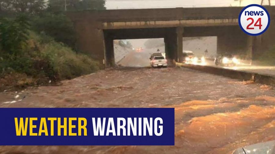
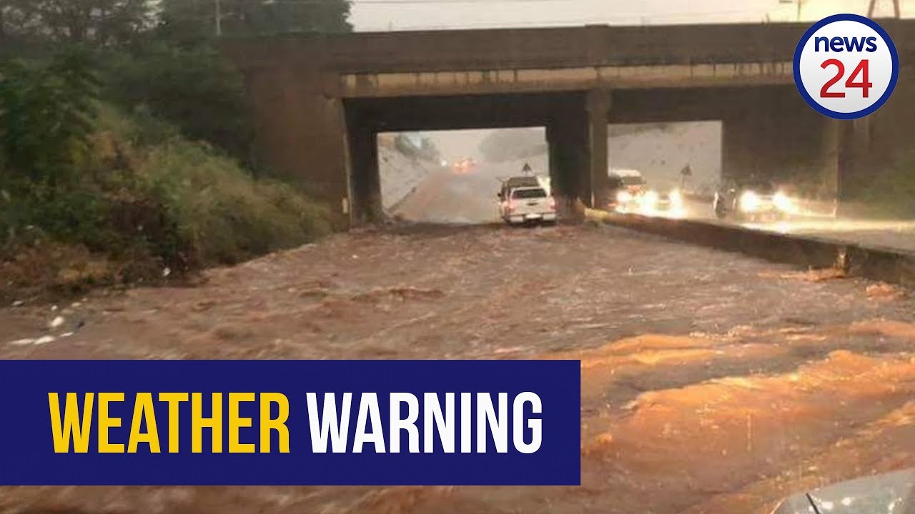
Footage has already been coming in of roads getting flooded. Arrive Alive cautions drivers to reduce speed and drive carefully. If possible – don’t drive at all.
SAWS will be launching a new weather app – with storm tracking capability – to coincide with World Meteorological Day tomorrow, 23 March.
WATCH flood warning issued as heavy rains persist
https://twitter.com/SandtonAgent/status/976815669764329476
Pretoria-Noord dit reën nog. R Glenewinkel #rain #SouthAfrica @tWeatherSA @TshwaneWeather @SAWeatherServic @eNCAWeather @weathertodaysa @venter_annette @debeer_anika @beeldotcom @RekordNewspaper @pretorianews @maroelamedia @JoelGuy_ @dieCourant pic.twitter.com/sKtHQHk47u
— ReenvalSA (@ReenvalSA) March 22, 2018
Still raining in #Florauna Pretoria-North R Glenewinkel #rain #SouthAfrica @eNCAWeather @SAWeatherServic @TshwaneWeather @tWeatherSA @RekordNewspaper @pretorianews @AfricaWeather_ @JoelGuy_ @huisgenoot @landbou @Letabaherald @maroelamedia pic.twitter.com/hPO11Uuz6o
— ReenvalSA (@ReenvalSA) March 22, 2018
⚠HEAVY RAINFALL WARNING :
Precautions:-
✓ If possible, stay in doors and off the roads.
✓ Lookout for signs of potential tree toppling.
✓ Avoid standing under big trees. #ArriveAlive #JoburgRoadSafety #JoburgStormUpdate ^KN pic.twitter.com/pd6cyz0jDk— City of Joburg (@CityofJoburgZA) March 22, 2018
Please be advised of the following for the 22/23nd of March 2018. Persistent rainfall could result in localized flooding in places mentioned as a strong upper air trough moves in from the west. pic.twitter.com/twp4O0BKyl
— SA Weather Service (@SAWeatherServic) March 21, 2018
Have a look at your latest satellite image (22 March 2018). Widespread rainfall in the east where it will be cool to cold with heavy rainfall warning in place. Take care on the roads. pic.twitter.com/d7szvy2Qbs
— SA Weather Service (@SAWeatherServic) March 22, 2018
Meanwhile in Cape Town #JoburgStormUpdate pic.twitter.com/FedT4uXimY
— Monde H Dikwayo (@Moonde_d) March 22, 2018
