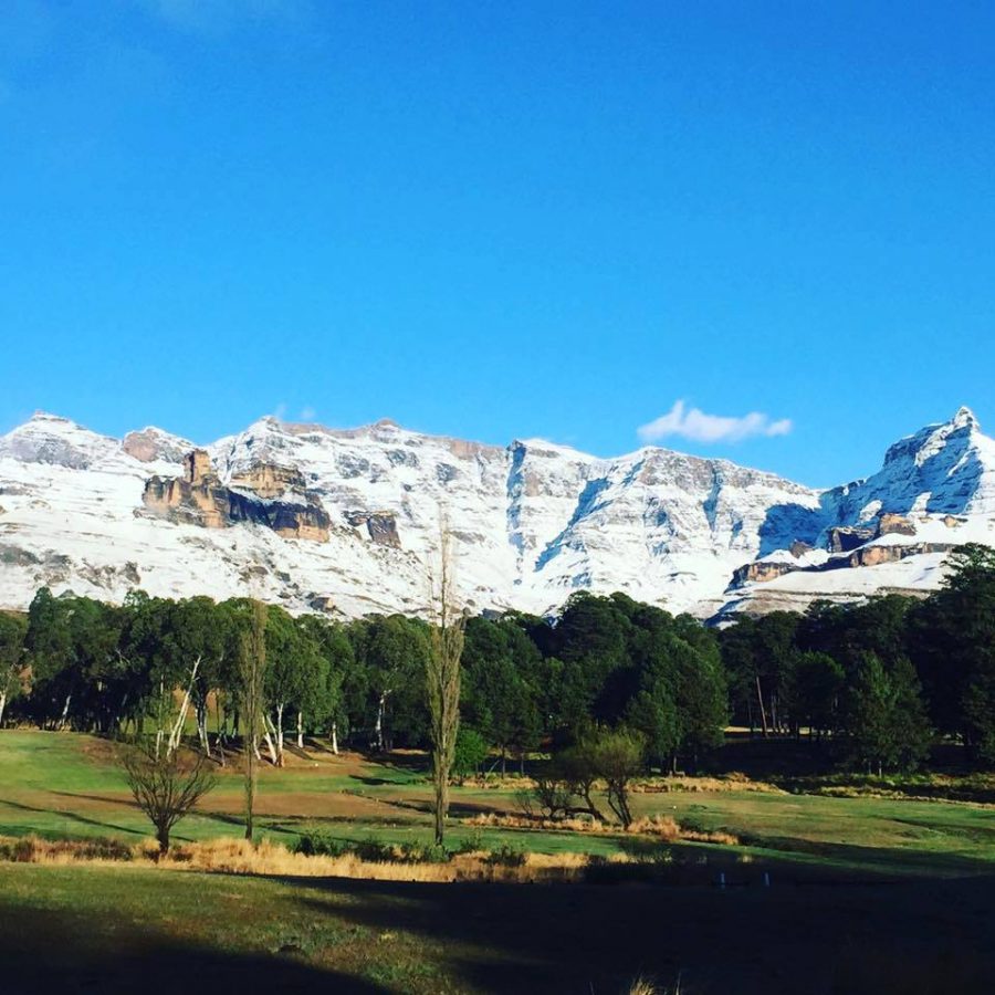
Snowfall Expected in Sunny South Africa this Weekend
South African Weather Services has predicted that by Friday, it’s likely to snow on the mountains of the Eastern Cape and KwaZulu-Natal! (See UPDATE at bottom of page.) SA Weather Service (SAWS) said a cold front and upper air trough will be moving over western RSA on Thursday with (thankfully!) rain expected in the Western Cape […]
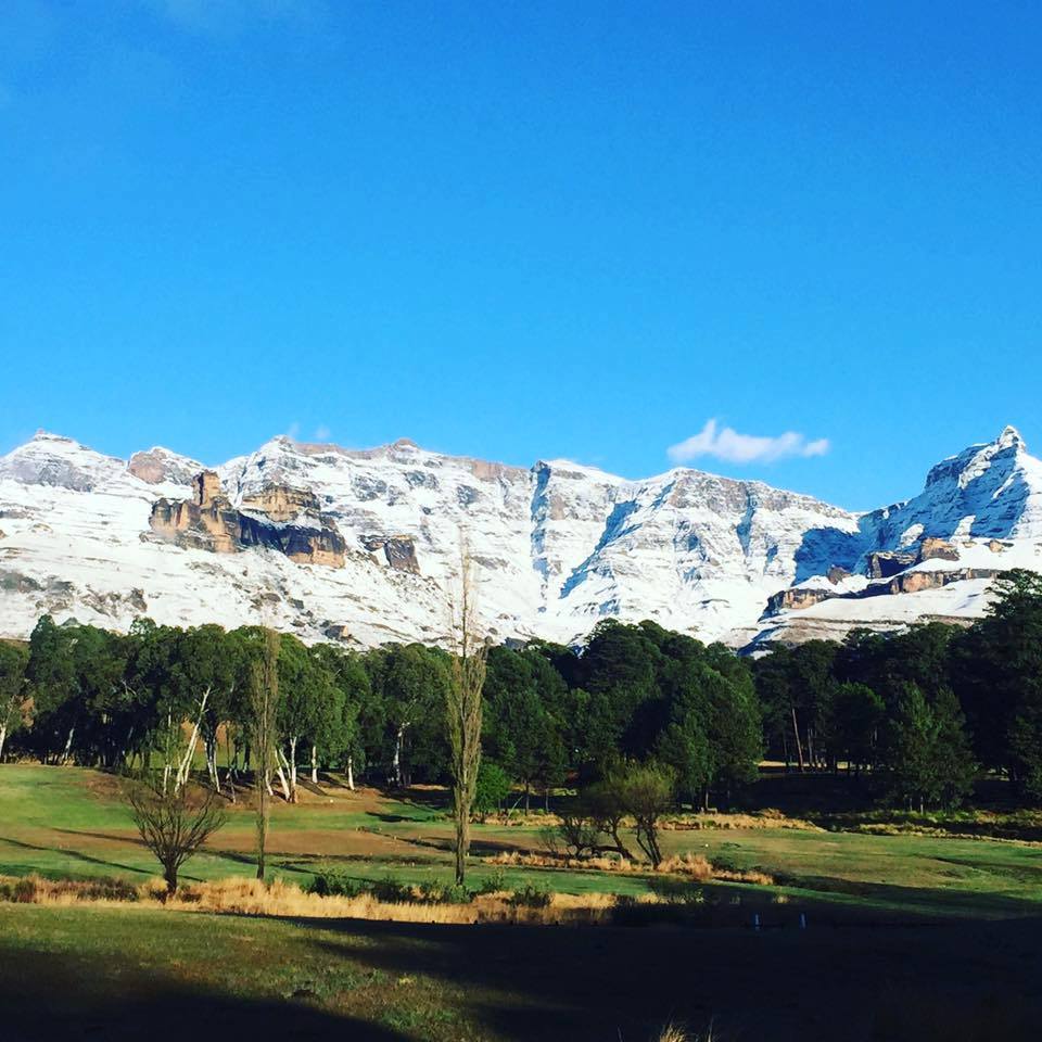
South African Weather Services has predicted that by Friday, it’s likely to snow on the mountains of the Eastern Cape and KwaZulu-Natal! (See UPDATE at bottom of page.)

SA Weather Service (SAWS) said a cold front and upper air trough will be moving over western RSA on Thursday with (thankfully!) rain expected in the Western Cape (which has recently been suffering from a heatwave), spreading east… and that a surface high will push moisture over south eastern parts of South Africa causing the snowfall.
SAWS cautioned that the predicted weather is still likely to change. They will keep South Africans updated on social media.
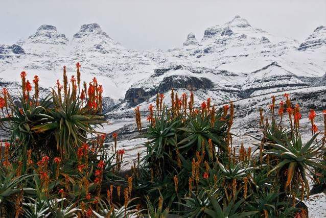
Just before midday Tuesday, Snow Report SA said “there has been a considerable change in the forecast over the last 24 hours…”
As can been seen on the page’s forecast map below, snow is now also expected in the Western Cape, Northern Cape, Free State and Lesotho.
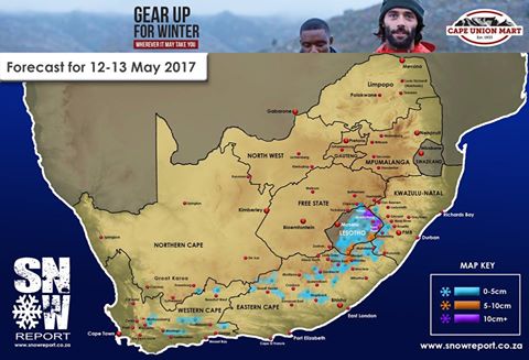 “The cold and wet weather will arrive in the WC during Thursday morning, with the first light snowfalls being expected on Thursday afternoon in the WC.
“Thursday night will see some light falls in the NC, WC and EC, and by Friday morning, the EC, NC, Lesotho and the KZN Drakensberg will get some snow.
“This will continue through the day on Friday and into the night, with some heavy falls being possible over the KZN Drakensberg and a good possibility at this stage of some snow settling in the KZN Midlands.
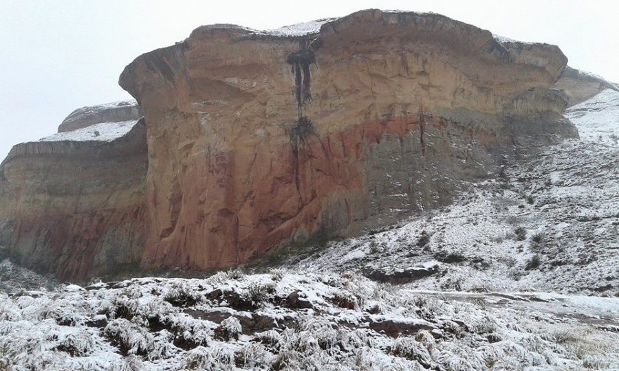
“There is also a chance that light snowfalls could extend into the FS into the Golden Gate and Clarens area during Friday night. By sunrise on Saturday, all snow falls will be tailing off.”
UPDATE Thursday evening, 11 May 2017: The SA Weather Service says there will be a significant drop in temperatures this weekend. Severe thunderstorms are possible in places over Gauteng and Mpumulanga Highveld. Heavy rain is also expected along the Wild Coast of the Eastern Cape (EC) and southern KwaZulu-Natal (KZN). Disruptive snowfall is possible in the mountainous areas of the NE parts of the EC from Friday into Saturday. A gale force south-westerly wind of 65km/h is possible along the coast between Margate and Maputo on Friday evening; and snowfall is expected along the Winterberg Mountains of EC and Drakensberg of KZN Friday into Saturday.