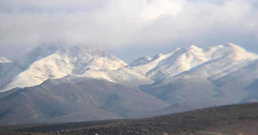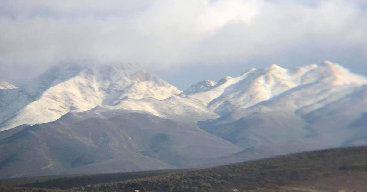
Parts of South Africa Gripped by Cold Front as Snow Falls on the Mountains
As predicted by the South African Weather Service (SAWS) a monster cold front has gripped parts of SA, sending locked-down residents back under the blankets and duvets this morning! SAWS said today’s satellite image shows the cold front moving east, resulting in cold to very cold temperatures across the southern and central parts of SA. […]

As predicted by the South African Weather Service (SAWS) a monster cold front has gripped parts of SA, sending locked-down residents back under the blankets and duvets this morning!

SAWS said today’s satellite image shows the cold front moving east, resulting in cold to very cold temperatures across the southern and central parts of SA.
“Showers will continue along the south coast of Western and Eastern Cape provinces with snow on the mountains. Stay warm,” said SAWS.
Last night SAWS said snow was expected Tuesday on the mountains of the Western Cape, the high ground of the Eastern Cape, Lesotho and the southern high ground of the Northern Cape.

This morning the weather service posted the following photos of snow on the Swartberg mountains in Klaarstroom, and in Little Karoo.
Severe frost is expected over the Free State, eastern and southern Northern Cape and the northern interior of the Eastern Cape on Wednesday (27 May 2020) morning, says SAWS.
Animal groups have asked citizens to please keep pets indoors as they will be feeling the cold too.
Parts of the Cape have been lashed by rain. According to Western Cape photographer Robyn Gwilt, Fish Hoek has received about 40mm of rain in the last 48 hours. “The Antarctic is making its presence felt here, but the 40mm of rain has been wonderful, so no complaints!”
https://www.facebook.com/WeatherServic/posts/1303397679863552/
https://www.facebook.com/WeatherServic/posts/1303377339865586/
