Pictures Show How Pretoria has Changed Over the Last 70 Years
Archived footage and modern technology combine to show exactly how South Africa’s capital, Pretoria, has changed over the past 70 years… Pretoria is one of South Africa’s oldest cities serving as the executive branch of government. The city was founded in 1855 by Marthinus Pretorius, a leader of the Voortrekkers, who named it after his […]

Archived footage and modern technology combine to show exactly how South Africa’s capital, Pretoria, has changed over the past 70 years…

Pretoria is one of South Africa’s oldest cities serving as the executive branch of government. The city was founded in 1855 by Marthinus Pretorius, a leader of the Voortrekkers, who named it after his father.
The region became the administrative capital of the whole of South Africa, with Cape Town the legislative capital, which it kept after South Africa gained its independence in 1961.
The city has undergone many changes over the years, and remains one of South Africa’s largest cities – fourth behind Joburg, Cape Town and Durban – with a population of just over 2 million people.
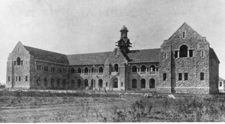
The pictures below were taken from various archives, and capture Pretoria from around 1940 and beyond. The modern re-creations taken from Google Earth.
The Union buildings

Church Square in Pretoria


Pretoria City Center


The old art building at the University of Pretoria


The Voortrekker Monument


We have previously looked at a few archived images of Pretoria, showing how the city looked in the 1900s onward, but by using Google Earth’s 3D mapping technology, we can replicate some of these old photos and how they would look in 2017, almost exactly.
For a look at how Cape Town has changed over the decades check out: These pictures show how Cape Town looked in the 1940s compared to today
For a look at how Joburg has changed over the decades, read: These pictures show what Joburg looked like in 1930
This article first appeared on Businesstech.co.za and is republished with kind permission.