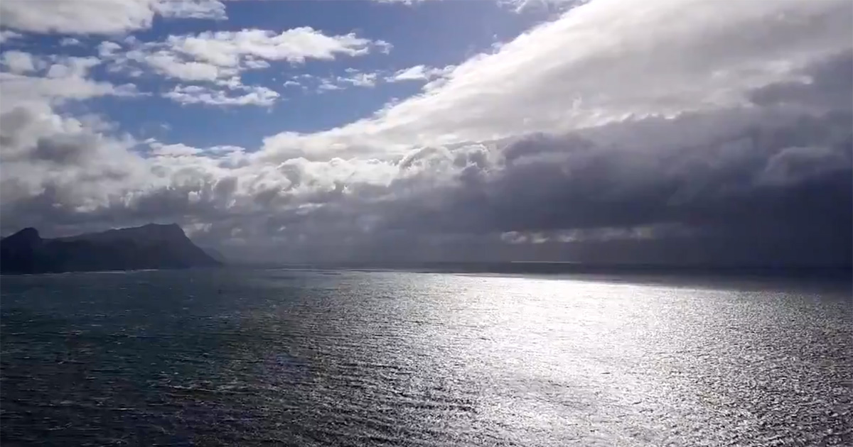
Strong Cold Front Storms into South West Cape
A strong cold front made landfall on Thursday afternoon (08 July 2021) over the South West Cape, South Africa, resulting in gale force winds, heavy rainfall… and a flood of images and videos on social media. The South African Weather Service (SAWS) had warned earlier of the expected gale force winds of around 60 km/h, […]

A strong cold front made landfall on Thursday afternoon (08 July 2021) over the South West Cape, South Africa, resulting in gale force winds, heavy rainfall… and a flood of images and videos on social media.

The South African Weather Service (SAWS) had warned earlier of the expected gale force winds of around 60 km/h, gusting at 80 km/h and rainfall that would cause localised flooding and disrupt driving conditions for at least three hours.
SAWS also posted satellite images showing how ahead of the front, “dry and berg wind conditions prevail causing veld fires and blowing dust with 30-32°C maximums along the Eastern Cape coast.”

Video posts showed how the Cape of Storms has been living up to its name today:
Taken at Cape Point earlier today. pic.twitter.com/6tSgFDwTaN
— Brahm Bester (@Brahm_ZA) July 8, 2021
Lekker ou Kaap van Storms. Brackenfell, Wes Kaap. ❄️🌧💨#capestorm @eNCA @_ArriveAlive @JoelGuy_ @peoples_weather @SAWeatherServic @cptweather @maroelamedia pic.twitter.com/Ywk61rIt0W
— ReenvalSA (@ReenvalSA) July 8, 2021
Parow Vallei 📷Christa Bothma @maroelamedia @peoples_weather pic.twitter.com/1IGuR10Rv5
— ReenvalSA (@ReenvalSA) July 8, 2021
