Cape Town on Standby Ahead of Major Weather Warning – High Seas, Snow, Rain
PRETORIA – The City of Cape Town is on standby following a warning from the South African Weather Service (SAWS) of high rainfall, gale-force wind and possible snowfalls later this week. “All City services and relevant external agencies are on standby to deal with the consequences of the severe weather that has been forecast,” the city’s […]

PRETORIA – The City of Cape Town is on standby following a warning from the South African Weather Service (SAWS) of high rainfall, gale-force wind and possible snowfalls later this week.
“All City services and relevant external agencies are on standby to deal with the consequences of the severe weather that has been forecast,” the city’s Mayoral Committee Member for Safety and Security and Social Services, JP Smith, said on Monday.
The SAWS has advised the City of Cape Town’s Disaster Risk Management Centre that an intense cold front is expected to affect the Western and Northern Cape on Wednesday and Thursday.
In preparation for the severe weather, the city has cleared away uprooted trees, attended to other infrastructure such as roadways affected by strong winds or potential flooding, and has dealt with any potential power disruptions.
“The City will also make emergency shelter and associated humanitarian relief available in the event that any people are displaced as a result of the frontal system.
“We further appeal to the public to report any emergency incidents to our Public Emergency Communication Centre so that we can respond as speedily as possible and mitigate the fallout,” Smith said.
Residents can contact 021 480 7700 from a cell phone or 107 from a landline for in the case of an emergency.
Residents can reduce their flood risk by taking heed of the following tips:
- Make sure that drainage pipes on property are not blocked
- Make sure that the storm water gutters around property are free from debris
- Check for dead or burnt trees that have the potential of falling onto your property and causing damage
- Place sandbags where necessary to protect critical areas
- Check the terms of your insurance policy with regard to flood and mud damage
- In informal settlements, raise the floor level of your home to be higher than the land outside
- Listen to weather warnings that are issued by the South African Weather Service
The weather warnings which have been issued by SAWS include:
- Heavy rain (50mm of rain in a 24-hour period) is possible over the western parts of the Western Cape on Wednesday. The highest rainfall is expected particularly over the western mountainous areas. Further showers are expected in the west overnight into Thursday.
- The cold front may also lead to snowfalls over high-lying regions of the western half of the Western Cape and the southern high ground of the Northern Cape. Snowfalls are possible during Wednesday afternoon/evening, but the majority of snowfalls are expected during Thursday. There are chances of some disruption as a result of these snowfalls.
- The intense cold front at the surface will cause gale-force winds (65 – 90 km/h) along the south-western coast on Wednesday, spreading to the southern coastline on Thursday. Gale-force winds can also be expected over the southern interior of the Northern Cape and most of the Western Cape interior where winds could reach 65 – 80 km/h.
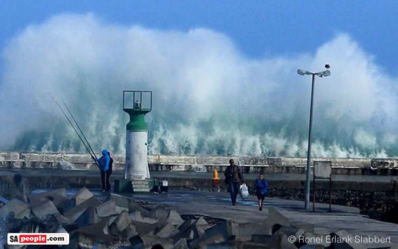
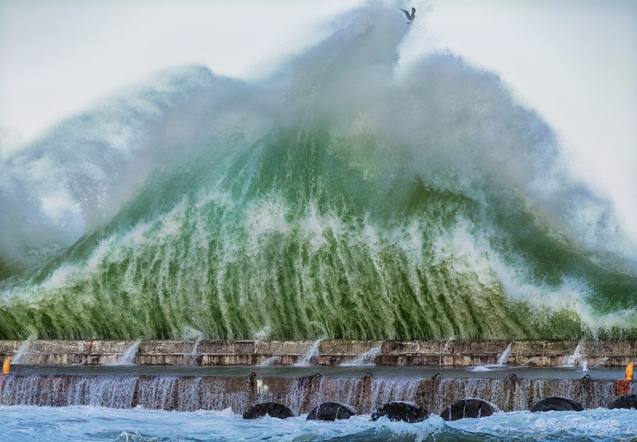
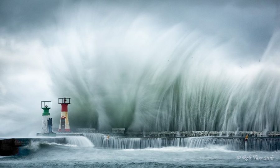
- The effects of the weather system are also to be seen in the sea state, with high to very high seas and wave heights greater than 6 – 8 m expected south of Alexander Bay from Wednesday afternoon and reaching 9 – 12 m between Lamberts Bay and Cape Agulhas, spreading along the south coast by Thursday. These waves will also have high energy with the long wave period which will very likely cause storm surges and damage to the coastal regions all along the west and south-west coast and, to a lesser degree, the south coast due to the orientation of the bays and the westerly to south-westerly swell and wind conditions.


– SAnews.gov.za