Where to see the snow in SA this weekend
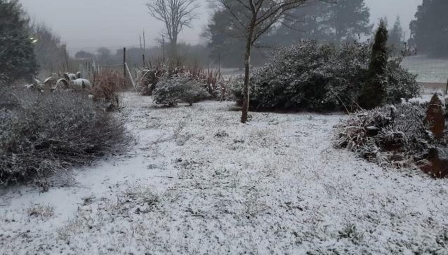
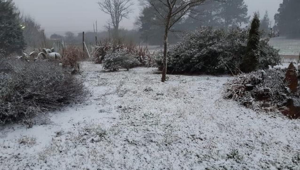
Attention, snow hunters! Up to 10cm of snow is expected in parts of SA. Grab the kids and go hunt for snow.

Up to 10cm of widespread snow is expected in parts of South Africa, including the Cape Provinces, Lesotho, central SA, and our neighboring country, Namibia. Grab the kids and go hunt for snow.
TEMPERATURES ARE EXPECTED TO DROP SIGNIFICANTLY ON SATURDAY
According to Vox Weather, freezing levels are expected to drop significantly starting on Saturday.
“Freezing levels are expected to drop significantly from Saturday as a strong cut-off low is expected to bring rain, snow, and a significant drop in temperature across the Cape Provinces, Lesotho, central SA, and our neighboring country Namibia.”
It said the first snow will start falling on Saturday around the escarpment and the high-lying areas in the Eastern Cape and Northern Cape, near near Molteno and Philipstown.
“This will be a mixture of snow and rain, and therefore, it might quickly melt.”
THESE COLD CONDITIONS WILL CONTINUE INTO NEXT WEEK
Vox Weather said a mixture of light snow and rain is possible in our neighboring country Namibia, around Aus, Rosh Pinah and Ai-Ais, spreading to the western and central parts of the Northern Cape.
This includes Namakwa – and Pixley Ka Seme Municipalities and over the Nuweveld mountains in the Northern Cape.
“More snow and rain likely over the mountains in the Eastern Cape. Snow will also start falling in Lesotho and over the southern Drakensberg.
BE READY FOR A COLD AND SNOWY MONDAY
“Significant snow is already possible around Afriski in Lesotho on Sunday, continuing Monday and Tuesday.”
It said Monday will be a cold and snowy day in the country.
Snow will spread throughout Monday over the mountain peaks:
HERE IS WHERE YOU WILL FIND SNOW:
In the Western Cape:
- Matroosberg,
- Cederberg,
- Swartberg
In the Northern Cape:
- Nuweveld and Roggeveld mountain
- including the town of Sutherland,
- the Great Karoo
The high-lying areas in the Cape provinces:
- around Fraserburg,
- Loxton,
- Murraysburg,
- Richmond,
- Noupoort,
- Colesberg,
- Burgersdorp,
- Aliwal North,
- Molteno and surroundings.
Lesotho could experience snow depths exceeding 10cm on Monday, particularly around Afri Ski, while areas near Lesotho in the Eastern Cape may expect between 5 to 10cm of snow over the southern Drakensberg and nearby towns. Including Barkly East.
A mixture of snow/ ice rain and sleet is now possible over southern and eastern Free State:
- Bethlehem,
- Warden,
- Heilbron,
- Reitz,
- Memel,
- Reddersburg,
- Trompsburg and surrounding towns.
It includes north-eastern parts of the Northern Cape, around Postmasburg and Kuruman.
Late on Monday and into Tuesday, a mixture of light snow, ice rain, and sleet can even fall south of Bloemfontein in the Free State.
EVEN BLOEMFONTEIN, GAUTENG AND THE NORTH-WEST COULD SEE LIGHT SNOW
“The European ECMWF weather model is even picking up the slight possibility of a dusting of snow falling over the southern parts of North West and Gauteng.”
It cautioned that the ECMWF model tends to be overconfident, and the forecast will change significantly as the COL moves over the country.
Meanwhile, on Tuesday morning, a mixture of snow and rain is possible over the southern parts of the Free State.
“More heavy snow, another 20-40 CM is mostly confined to Lesotho and southern Drakensberg is possible.”
