
Those Cape Town UFO-Like Clouds Explained. Awesome PHOTOS!
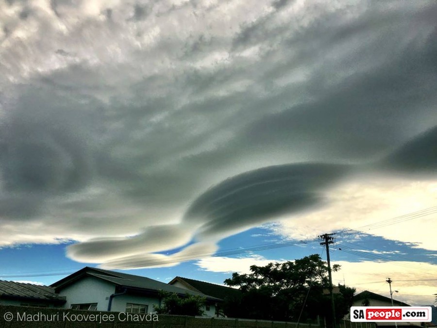
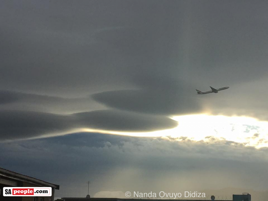
Cape Town was treated to a beautiful formation of Lenticular clouds on Sunday (8 November). From the Blouberg side it looked like the legendary pirate Van Hunks truly was smoking a pipe! (According to myth the ‘tablecloth’ cloud sometimes seen over Table Mountain is caused by a smoking contest between the devil and Van Hunks.) Capetonian Enid Burt said: […]
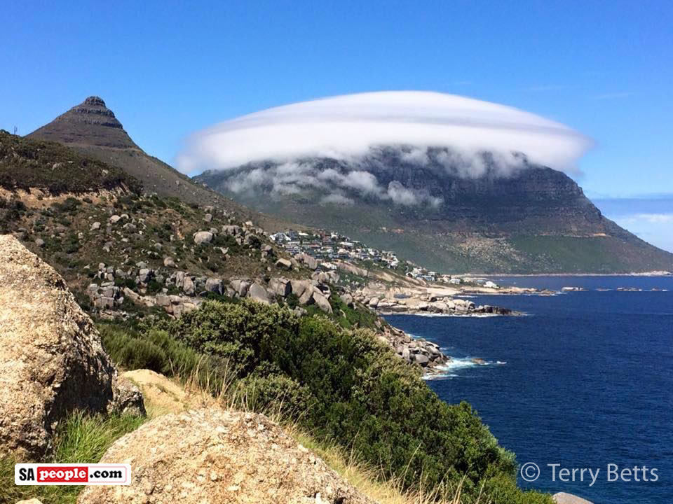
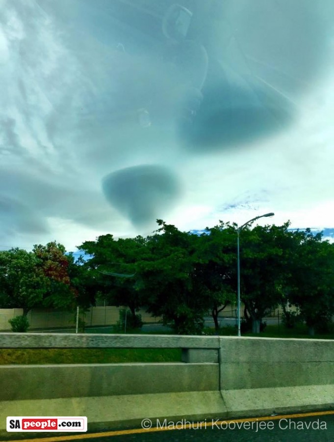
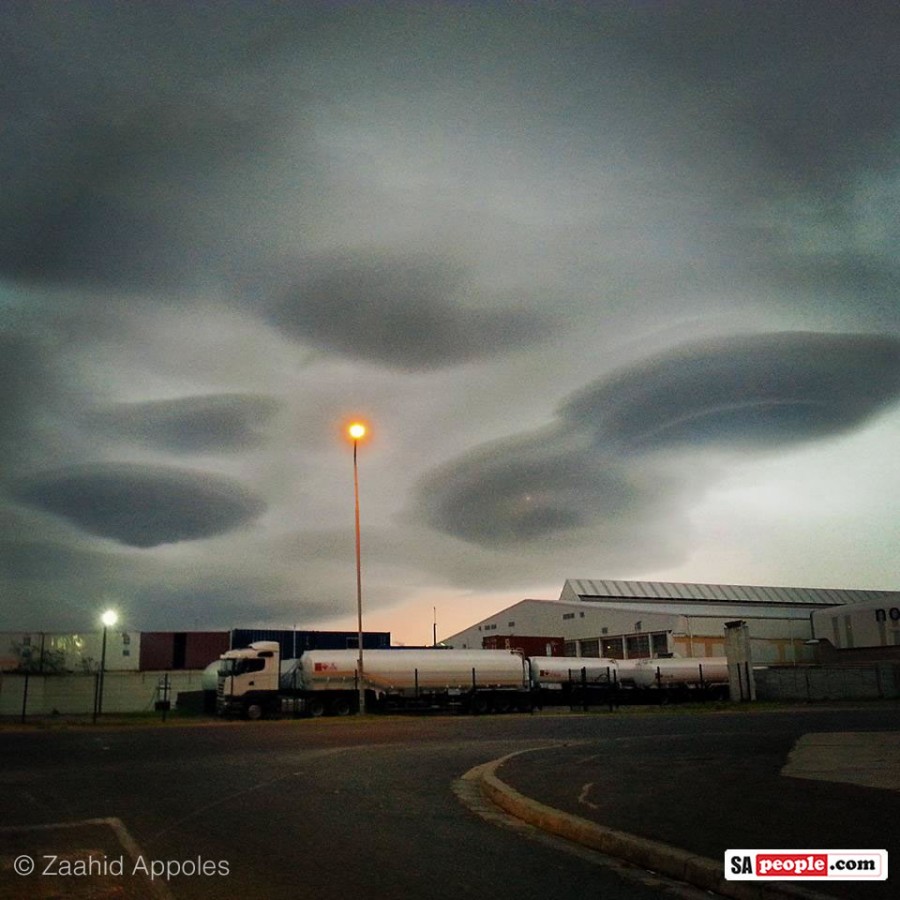
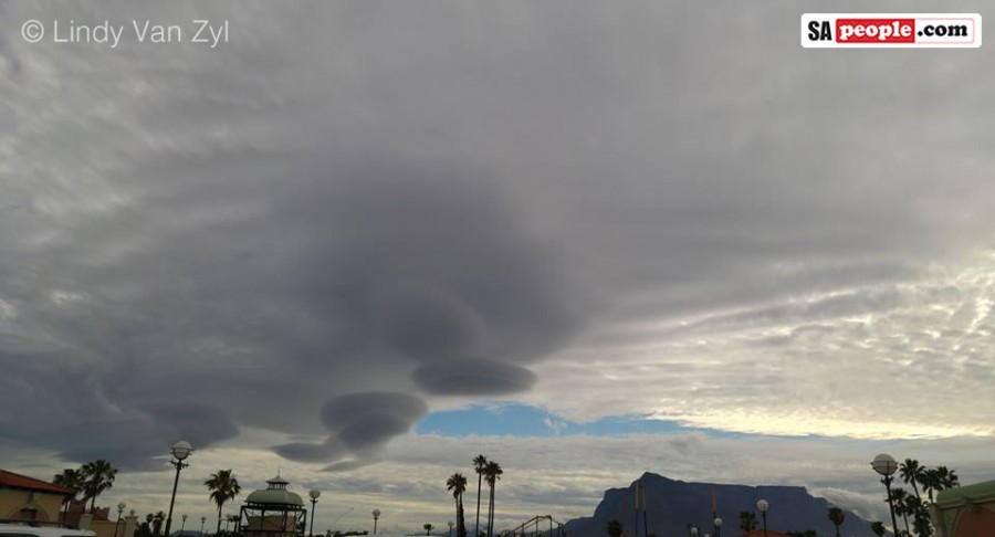
Cape Town was treated to a beautiful formation of Lenticular clouds on Sunday (8 November).
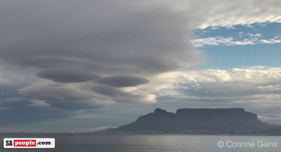
From the Blouberg side it looked like the legendary pirate Van Hunks truly was smoking a pipe!
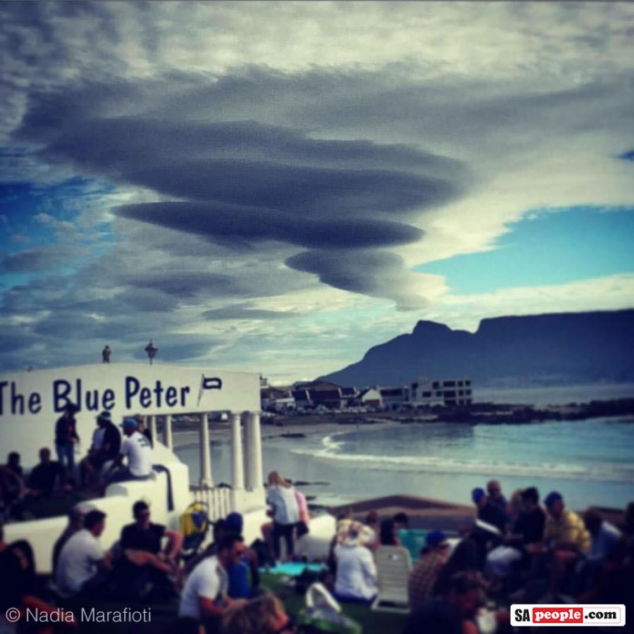
(According to myth the ‘tablecloth’ cloud sometimes seen over Table Mountain is caused by a smoking contest between the devil and Van Hunks.)
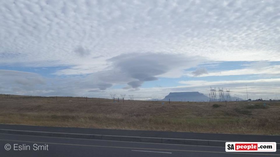
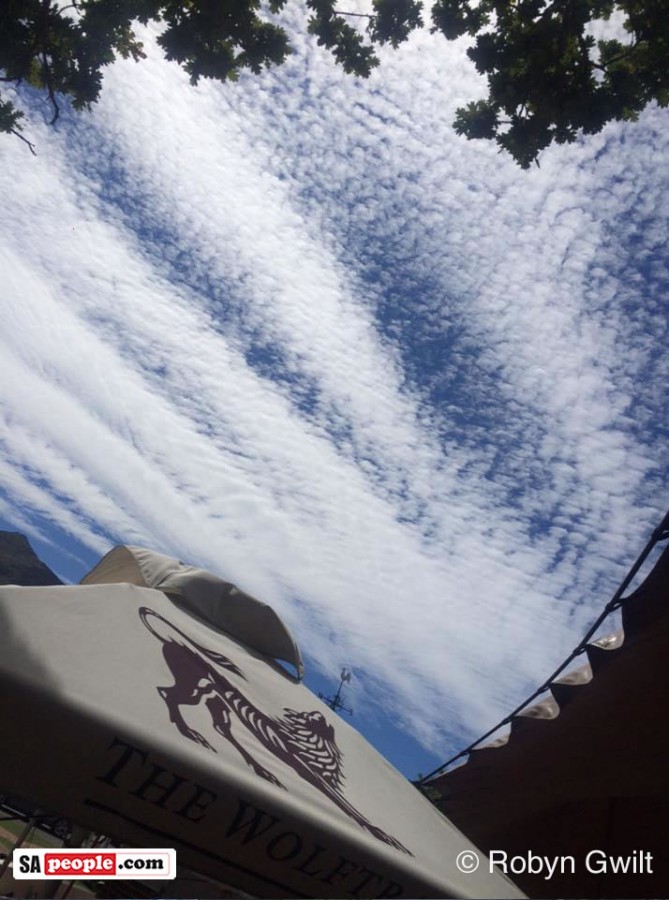
Capetonian Enid Burt said: “I couldn’t stop looking up at the sky on our way back from the southern suburbs, towards Glencairn. Absolutely stunning cloud formations!!”
Several people in Cape Town today said the same, and many – luckily – snapped photos for the rest of us to share in the incredible scene! (Thank you.)

Lenticular clouds – scientifically known as Altocumulus lenticularis – are often mistaken for unidentified flying objects (UFOs) by eager photographers because of their oval lens shape, and are usually found near mountains.
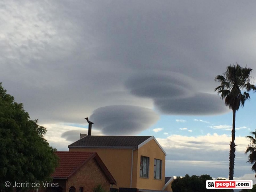
According to AccuWeather.com meteorologist Jesse Ferrell, lenticular clouds are created when the air moves over a mountain and cools enough for condensation to occur.
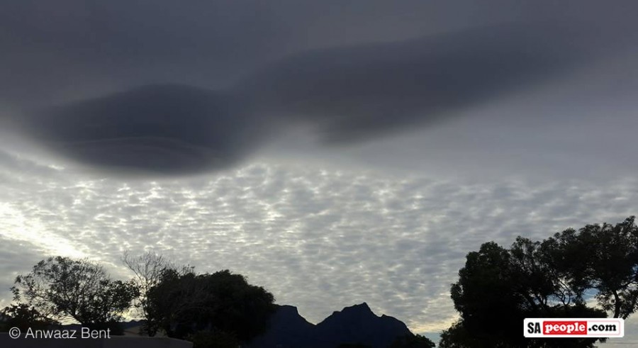
They differ from other clouds because they remain stationary.
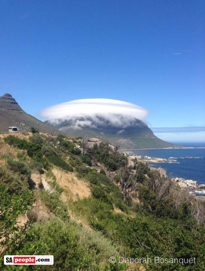
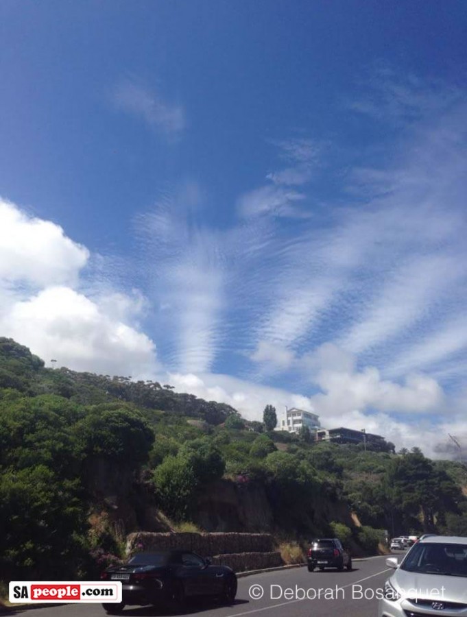
On AccuWeather’s website, Ferrell is quoted as saying: “They are continually reformed over the same location by new air rising up and over a mountain, condensing and producing the clouds.”
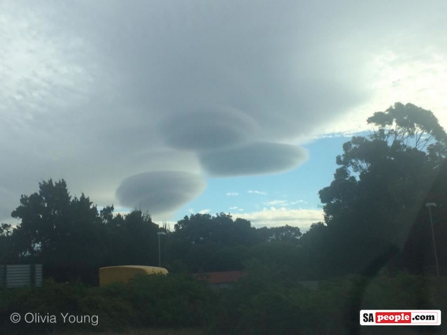
Wikipedia describes these clouds as forming in the troposphere, normally in perpendicular alignment to the wind direction.
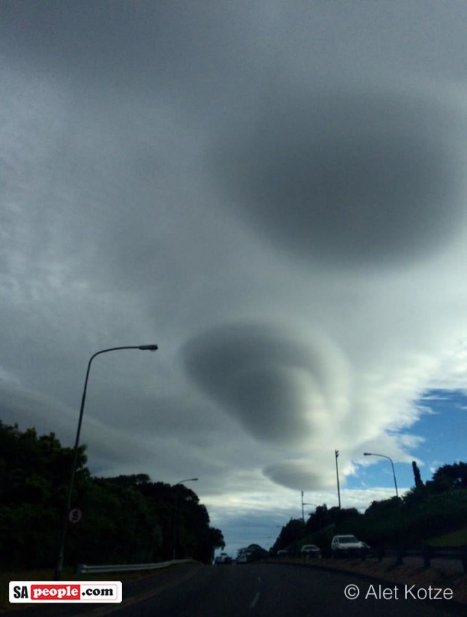
The longer explanation from Wikipedia is: “Where stable moist air flows over a mountain or a range of mountains, a series of large-scale standing waves may form on the downwind side. If the temperature at the crest of the wave drops to the dew point, moisture in the air may condense to form lenticular clouds.
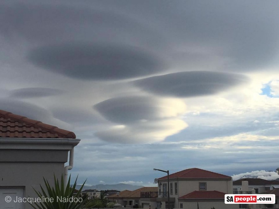
“As the moist air moves back down into the trough of the wave, the cloud may evaporate back into vapor. Under certain conditions, long strings of lenticular clouds can form near the crest of each successive wave, creating a formation known as a ‘wave cloud’.
The wave systems cause large vertical air movement, enough that water vapor may condense to produce precipitation.”
In some instances lenticular clouds can form over flat terrain because of shear winds created by a front, but it’s less common.
Apparently powered aircraft pilots avoid flying too close to lenticular clouds because of the turbulence of the rotor systems…but glider pilots love them because the ‘wave lift’ helps them glide to world record distances. (For more info on lenticular clouds, check Wikipedia here.)
Capetonian Liz Sales described today’s weather as “perfect…lovely temperatures – not hot or cold, and not a breath of wind.”
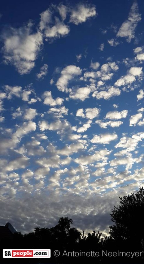
Margie Johnson wrote on SAPeople’s facebook page (where many locals and tourists had posted pictures): “So glad you posted these – it was incredible and so different from normal…now it’s raining in the Southern Suburbs.”